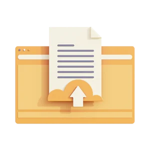
Sell your lecture notes and other study documents.
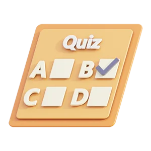
Create your own quizzes. Then sell them to others.
Package documents and quizzes together to earn more cash.
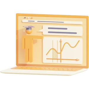
Work as a tutor and provide personalized learning in your area of expertise.
View students’ requests and send a proposal of your relevant services.
- Study Documents
Categories
Choose a country
Textbooks
- Study Services
What do you need help with?
Choose a country
Requests
- Quizzes
Educations
Choose a country
Create quiz
- Studybot New
How can Studybot help?
Answers
ATPL - Meteorology

I develop this document while studying for my EASA ATPL exams. To accomplish this I studied the Oxford Manual and did the Aviation Exam database. The information is brief and easy to read. I believe it contains all the information you will need to pass your exam. I hope you like it and can use it to study for Meteorology!
Preview document (2 of 19 pages)
Knoowy benefits
$ 19,75
 Money back guarantee
-
Documents can be downloaded immediately
-
$0.50 discount when paying with balance
-
Receive free quiz questions with document

Specifications
Seller

Available in bundle
 € 87.93€ 251.24
65% discount
€ 87.93€ 251.24
65% discount
You may also find these Summaries helpful
View all recommended documents »-
ATPL - AGK
$ 19,75 22 pages
 6 downloads
-
ATPL - General Navigation
$ 19,75
7 pages
5 downloads
-
ATPL - Performance
$ 19,75
6 pages
4 downloads
-
ATPL - Flight Planning
$ 19,75
6 pages
4 downloads

Sell summaries and other study documents
Upload document
Earn money and help students with your study services
Offer study services
Test yourself and earn money with selfmade quizzes
Create quiz
How it works
Knoowy
Buy and sell summaries and other study documents for: University - Secondary Education - All study documents
Get the help of tutors: Tutoring - Proofreading & editing - Research - Assignments & homework - Translation - Other study problems
Learning support: Learning quiz questions - Create quiz questions - Ask a studybot question - Studybot answers
 Deal: get 10% off when you purchase 3 or more items!
Deal: get 10% off when you purchase 3 or more items!